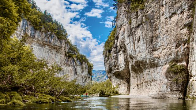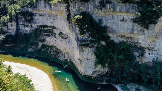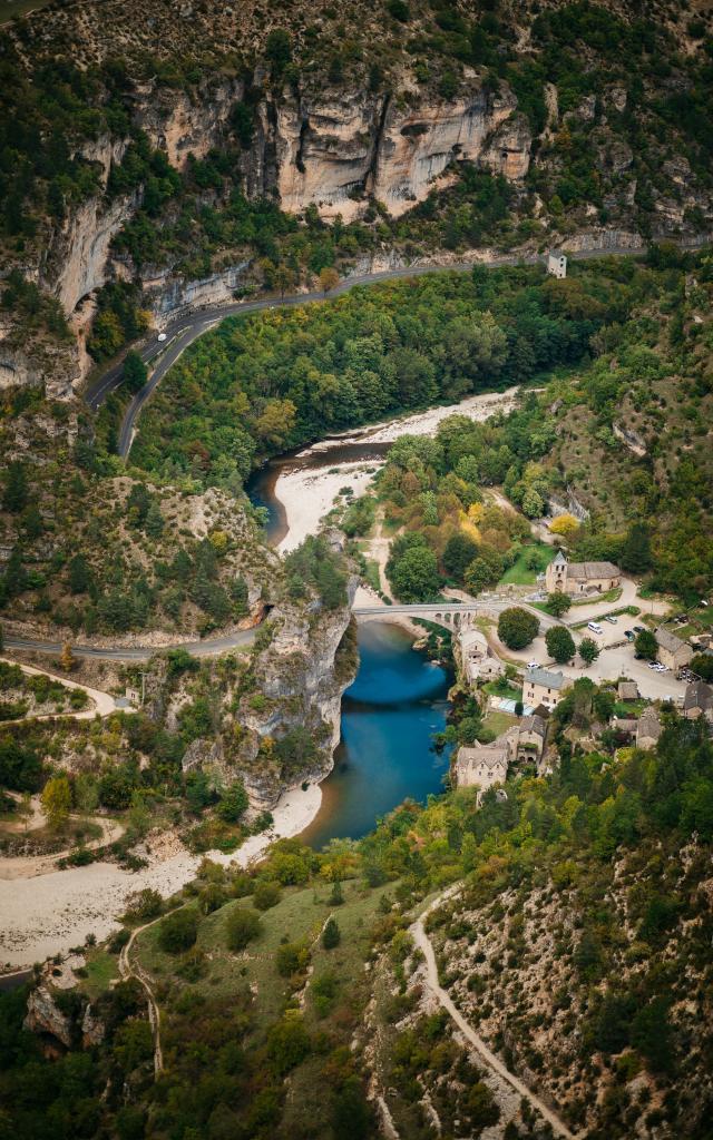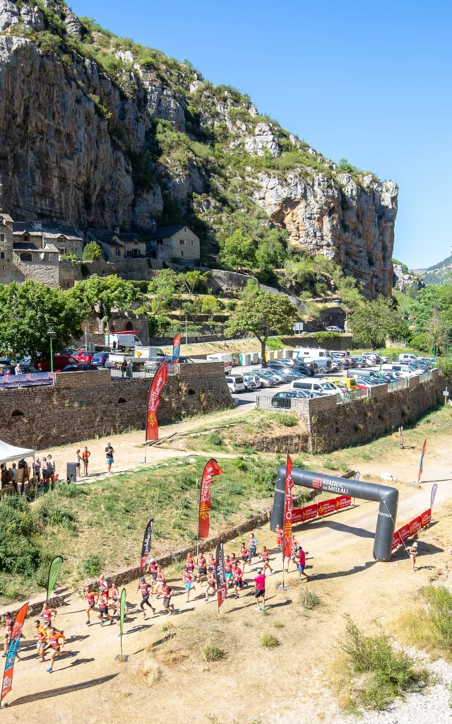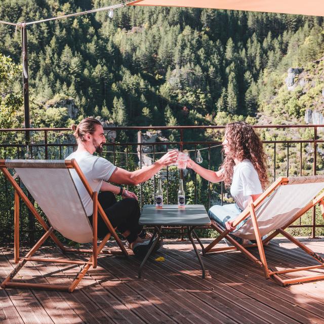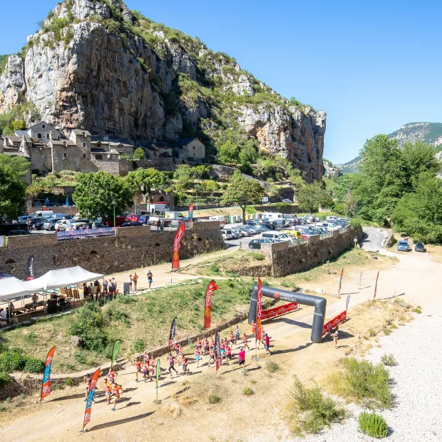
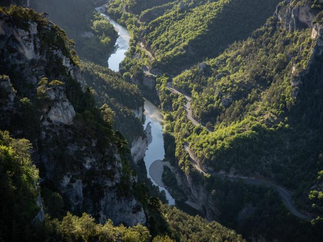
Les Gorges du Tarn sont un terrain de jeu idéal pour les amoureux des sports de pleine nature et de détente. Leurs formes toutes particulières vous permettront de pratiquer autant la Via Ferrata que l’escalade, la spéléologie que le saut à l’élastique, sans oublier les sports nautiques tels que le canoë, le paddle ou le tubbing… la baignade aussi !
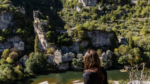
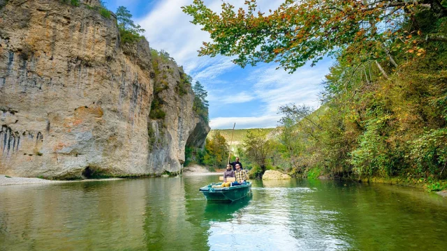
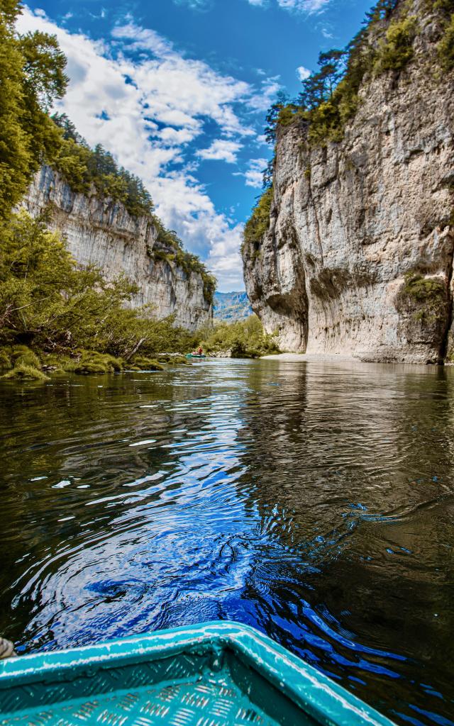
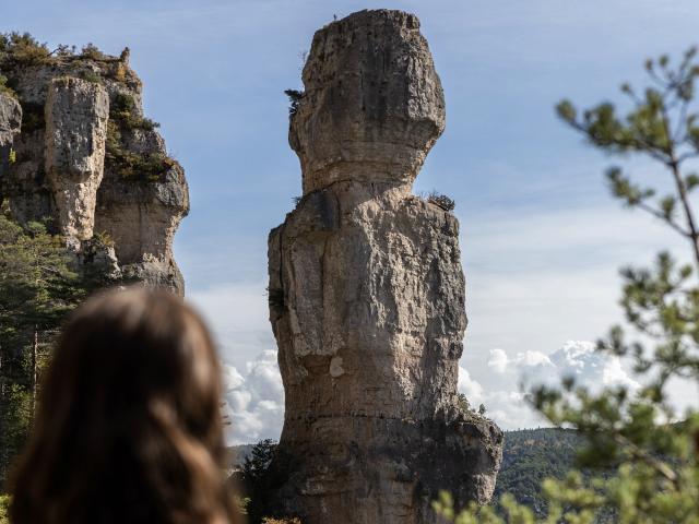
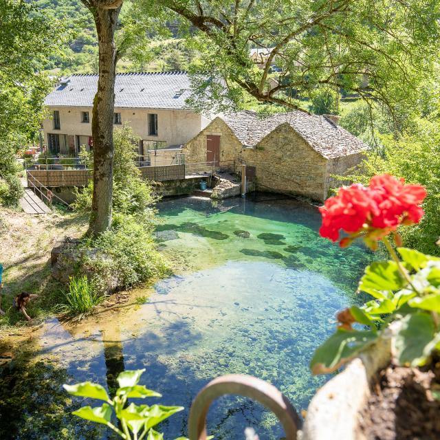
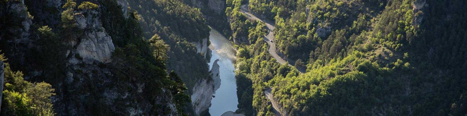
Pour découvrir les paysages sublimes des Gorges du Tarn, laissez-vous conter leurs histoires par les Bateliers des Gorges du Tarn, lors d’une visite en barque. Parcourez également les nombreux chemins de randonnée comme le GR736 Gorges et Vallée du Tarn (possible en multimodal) et arrêtez-vous au gré des points de vue spectaculaires.